
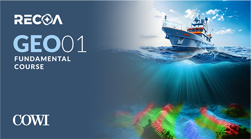
Site & Survey Data Fundamentals for Offshore Wind
Offshore wind surveys, done right from the start
Learn from experienced professionals all about site survey planning, execution and reporting, relevant for foundations, substations, and subsea cables, and key for project success.
* VAT is subject to student and/or client's country of origin. VAT exemptions may apply.
Developed in partnership with industry experts.
COWI is a global consulting firm with strong presence in Scandinavia, the UK, and North America, providing engineering, renewable energy, and environmental services in 35+ countries.
Here are your expected learning outcomes
Course Features
While developed for offshore wind, the survey techniques covered are also used for other marine infrastructure — bridges, harbour developments, and aggregate mapping. No theoretical or mathematical background is required; this course focuses on practical understanding and application.
Self-paced, flexible learning for working professionals
Real world expertise, theory you can trust

I liked the course primarily for its effective communication methods,
and the topics were well covered. The downloadable report examples are very useful to train.
No matter your role, understanding the ground you're building on is essential,
and this course lays that groundwork perfectly. The most valuable takeaway was understanding the specific structure and organisation of offshore site investigations.
I've been familiar with the results produced,
but this course gave an insight into how the data gets gathered in a structured way.

For individuals
Practical knowledge you can apply immediately, on your own schedule.
- Self-paced — average completion ~40 days
- 15 weeks of full access from enrollment date
- Certificate of completion for your profile
- Access to professional peer community

For teams
69% of studentsGEO 01 is built for offshore wind professionals. Bring a shared technical foundation to your projects.
- Flexible group pricing from 3+ seats
- Invoice & purchase order payment available
- Progress tracking across your whole team
- Dedicated onboarding support included
We'll respond within 1 business day
Not sure yet?
Try before you enroll
Start learning today with free lessons and recorded webinars. Create your free account in minutes, no credit card required.
Most students also take
GEO 01 covers site & survey fundamentals. T&I 01 takes you through transportation & installation — the natural next step for 30% of students.
GEO 01 — Site & Survey Fundamentals
Learn about site survey planning, execution and reporting, relevant for foundations, substations, and subsea cables.
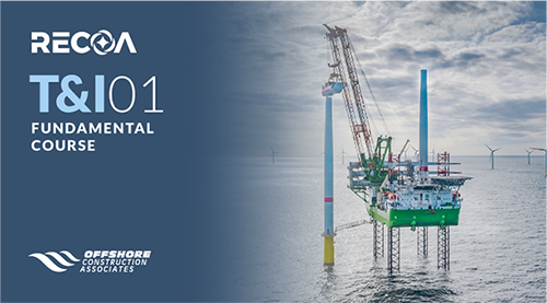
T&I 01 — Transportation & Installation
DEVEX, CAPEX, stakeholder engagement, logistics strategies, and risk management. Learn to tackle unique challenges, optimise strategies, and adapt to project demands.